|
|
Ortho-Rectification
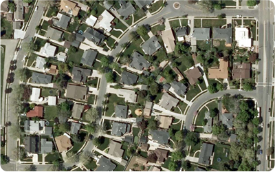
Ortho photo is an error free aerial image. This basically means that the images
are rectified for tilt distortion, relief displacement and scale correction to depict
the earth surface on its true map position. Digital Orthophoto has become an integral
part of GIS application and its applications nowadays are unlimited, as it has replaced
the vector maps utilization to a large extent. Digital Orthophoto generation is
quicker and more cost effective when compared to the vector maps.
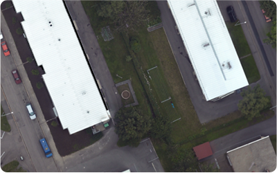
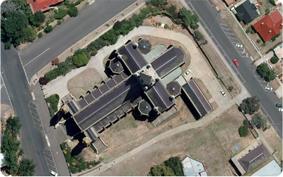
Vision Geo Informatics is equipped with all sets of skills and software to create
highly accurate and aesthetic ortho photo maps from Aerial and Satellite imageries.
It has well defined automatic and manual processes to create seamless color balanced
Orthophoto mosaics and tiles at all mapping scales for RGB and IR images. Its capabilities
to analyze and create accurate DTM further helps to create accurate true Orthophoto
maps in areas of elevated surface features like Flyovers, bridges, overpasses, underpasses
and tall buildings.
|
|
|
|
Contact Info
|

|
040 - 65177667
|

|
+91 - 8008377667
|

|
+91 - 9703146644
|

|
info@
visiongeoinformatics.com
|
|
|