|
|
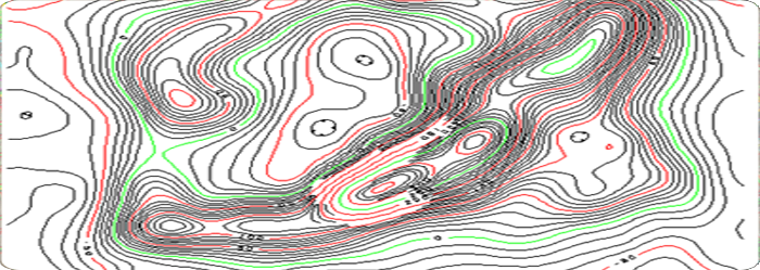
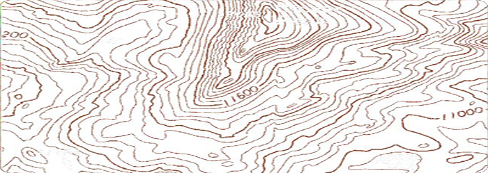
Topography Mapping
Vision Geo Informatics develops topographic mapping by creating a digital terrain
model (DTM) using data collected manually or by use of terrain modeling software.
The DTM is enhanced with 3-dimensional breaklines to better define the contours
and to assure accuracy.
Whether the project requirement is for high accuracy one (1) foot intervals for
design scale mapping or 2' to 5' contour intervals for preliminary design, Dataset
Solutions has the experience and talent to provide you with a high quality product
to meet your needs and schedule.
|
|
|
|
Contact Info
|

|
040 - 65177667
|

|
+91 - 8008377667
|

|
+91 - 9703146644
|

|
info@
visiongeoinformatics.com
|
|
|